
GIS Mapping
A comparison of tree coverage and household income in Lucas County, Ohio. The analysis utilizes Arc GIS to measure the variables and visualize the data. The result is intended to identify vulnerable census tracts to community leaders in order to justify improved tree coverage and environmental justice efforts.
Introduction:
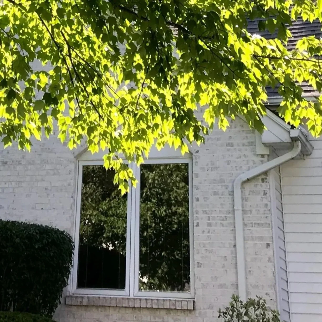
Tree canopy provides a variety of environmental, economic, and health benefits, including cleaner air, heat alleviation, reduced energy costs, increased property value, improved physical health, and reduced stress levels. Communities without effective tree coverage do not benefit from these advantages and are therefore less equipped to deal with climate change, economic stress, and health inequities.
Objectives:
This study aims to answer the following questions:
Where is tree canopy concentrated in Lucas County?
How does this tree coverage relate to household income?
Which communities need an increase in trees?
Tree Canopy Coverage
Data Source: USDA Forest Service – National Land Cover Dataset Tree Canopy Cover (2023)
Median Household Income
Data Source: American Community Survey – Median Household Income, 5-year estimates (2023)
Vulnerable Tracts
Low Income & Low Tree Density
The Relationship:
Results:
The scatter plot denotes a positive correlation between income and tree coverage across Lucas County, however, the r value shows that this is a weak relationship.
Conlusion:
The results suggest that Lucas County does not have a significant tree coverage disparity based on income, but there are census tracts with both low income and low tree levels that could benefit from increased canopy coverage. They are located closer to the city center and are denoted as vulnerable census tracts.